|
|
Grande Ronde River at La Gande, Oregon
|
|
|
13-3190
|
|
|
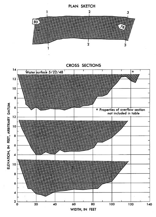
Lat 45°21', long 118°08', near center of sec. 36,
T. 2 N., R. 37E., on left bank 2 miles northwest of La Grande and 5 miles
downstream from Fivepoint Creek. Section 1 is 0.65 mile downstream from
gage.
|
|
|
678 sq mi
|
|
|
May 22, 1948
|
|
|
7.04 ft at gage; 12.95 ft (different datum) at section 1
|
|
|
4,620 cfs
|
-
Computed roughness coefficient
|
Manning n = 0.043
|
|
|
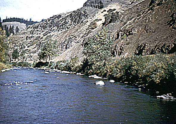
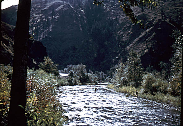
Bed consists of boulders; d50
= 93 mm, d84 = 157 mm. Right bank
is fairly steep and has dense overhanging bushes.
|


