|
|
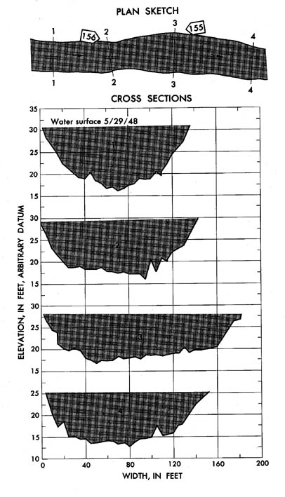
South Fork Clearwater River near Grangeville, Idaho
|
|
|
13-3380
|
|
|
Lat 45 55', long
116 55', long
116 01', in SE 1/4 NW 1/4 sec.
30, T. 30 N., R. 4 E., on right bank downstream from powerhouse of Washington
Water Power Co.,6 miles east of Grangeville. Section 1 is about 1.8 miles
upstream from gage. 01', in SE 1/4 NW 1/4 sec.
30, T. 30 N., R. 4 E., on right bank downstream from powerhouse of Washington
Water Power Co.,6 miles east of Grangeville. Section 1 is about 1.8 miles
upstream from gage.
|
|
|
865 sq mi
|
|
|
May 29, 1948
|
|
|
12.50 ft at gage: 30.85 ft at section 1
|
|
|
12,600 cfs
|
-
Computed roughness coefficient
|
Manning n = 0.051
|
|
|
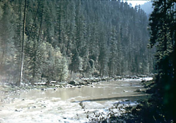
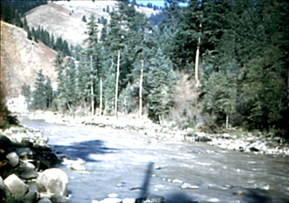
Bed consists of rocks and boulders; d50
= 250 mm, d84 = 440 mm. Banks are
mostly boulders and have trees and brush along top.
|


