|
|
Merced River at Happy Isles Bridge, near Yosemite, California
|
|
|
11-2645
|
|
|
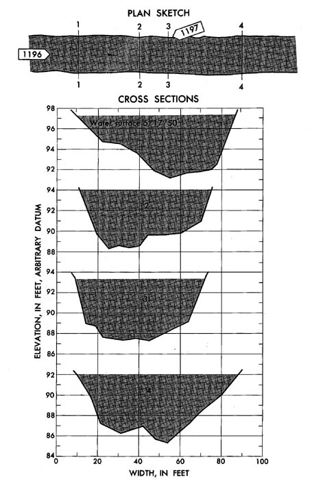
Lat 37°43'54'', long 119°33'28'', on right bank 10
ft downstream from Illilouette Creek, and 2 miles southeast of Yosemite
National Park Headquarters, Mariposa County. Section 1 is about 1,000 ft
downstream from gage.
|
|
|
181 sq mi. |
|
|
May 17, 1950
|
|
|
6.06 ft at gage; 97.40 ft (different datum) at section 1
|
|
|
1,950 cfs
|
-
Computed roughness coefficient
|
Manning n = 0.065
|
|
|
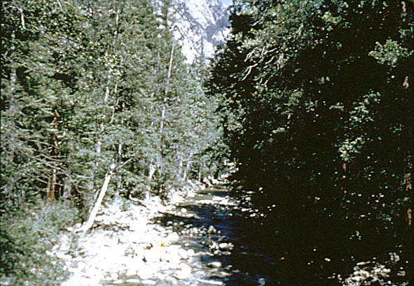
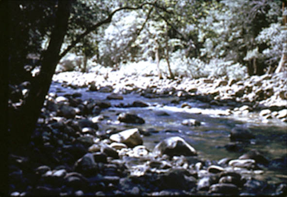
Fairly straight channel is composed of boulders with trees
along top of banks; d50 = 253 mm,
d84 = 550 mm. Banks are composed
of boulders and have trees and brush.
|


